
Nature project documentation your municipality can stand behind.
Freyra brings drone images, public data and expert verification together in a single evidence chain. From the first flight to a baseline for use in the Green Tripartite (Grøn Trepart).
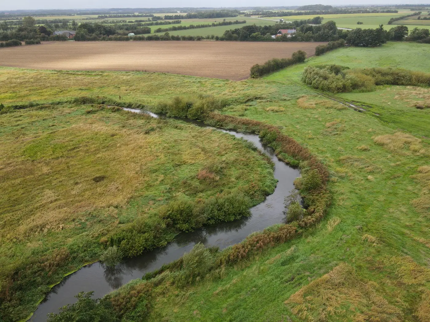
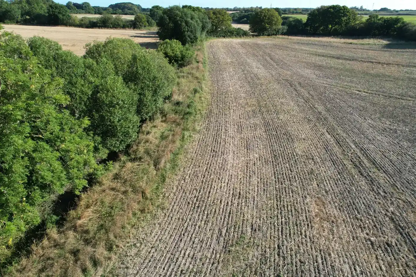
Our own drone image, September 2024.
Documentation is scattered and difficult to verify.
Nature and land projects are currently documented using photos in folders, spreadsheets and PDFs. When a foundation, a tripartite partnership or a citizen asks about the supporting evidence, the municipality needs to be able to give a precise answer.
Field documentation is scattered, without GPS coordinates, timestamps or links to the specific area.
Maps, soil data, weather and satellite data must each be retrieved from different sources and compiled manually.
It is difficult to show how a conclusion in a report was reached and who assessed what.
From drone image to documented decision.
Five steps. Each step is versioned and traceable to its source.
A flight over the area captures GPS-tagged imagery.
Orthophotos, cadastral data, soil types, weather and satellite data are retrieved automatically.
AI-assisted review followed by expert assessment.
A versioned report and evidence package, ready to use.
Suitability by area and repeat survey points for follow-up.
Six services. One evidence chain.
Drone surveying, public data and expert verification brought together in a versioned baseline.
Read moreMaps, soil, weather and satellite data retrieved and compiled for the specific area.
Read moreRepeat survey points and before/after documentation to track changes over time.
Read moreA rule-based assessment of where planting is suitable, conditionally suitable or unsuitable.
Read moreA consolidated, verifiable evidence base in which every claim can be traced to its source.
Read moreA clearly scoped programme demonstrating the entire evidence chain in practice on your own site.
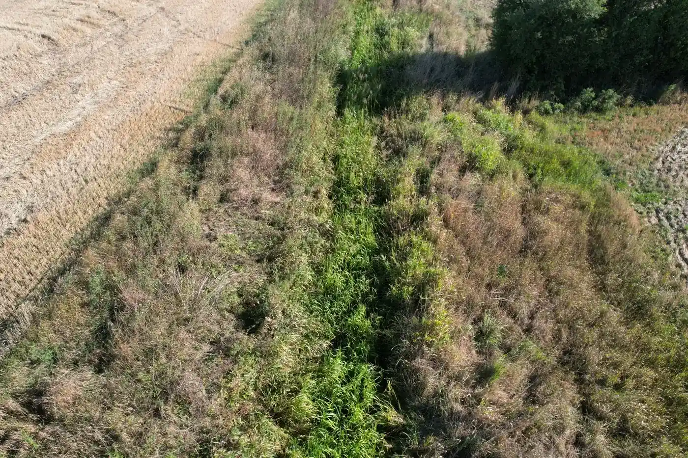
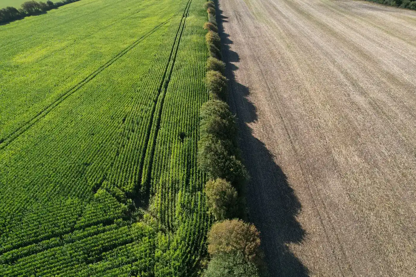
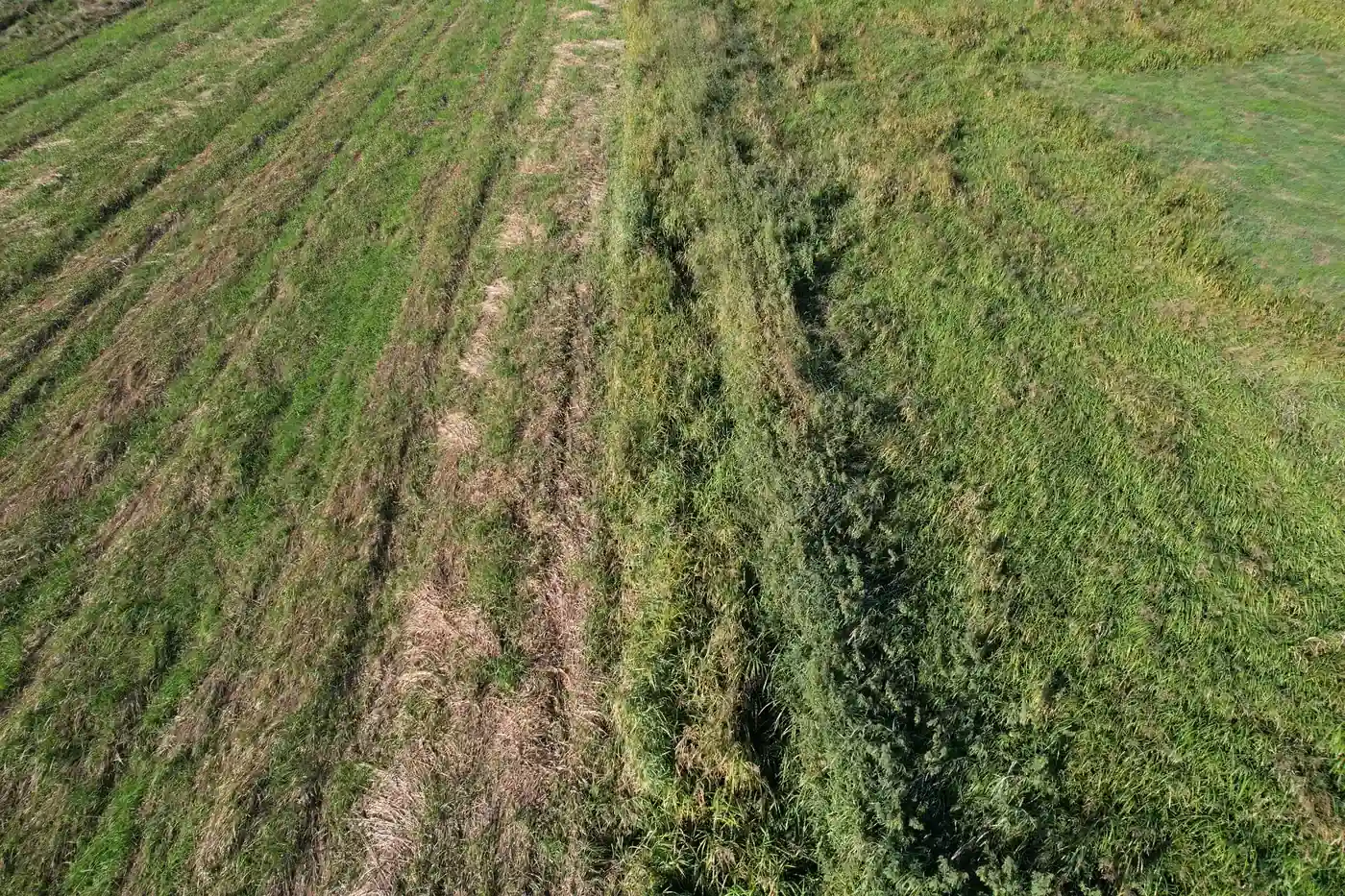
Read moreInitial survey of a watercourse in Southern Jutland.
A concrete example of what an initial survey includes. The figures come from an actual deliverable. The area has been anonymised.
- Drone survey completed on 24.08.2026
- 5 sections surveyed along the watercourse
- 6 repeat survey points for before/after documentation
- 21 GPS-tagged reference photos, ready for return visits
Dataforsyningen · Danmarks Arealinformation · GEUS · DMI · Copernicus Sentinel-2
Four principles. No exceptions.
Every claim in a deliverable has a source, timestamp and method.
We only show figures that can be documented. Effects are shown as ranges from the research literature.
AI assists the review. An expert stands behind every conclusion.
Every change is saved as a new version. An evidence package can be recreated and verified.
Built for those who need to prove it.
Nature and land projects under the Green Tripartite, with documentation that stands up to scrutiny.
A shared, verifiable basis for dialogue and decisions.
Structured field and map data as the foundation for your advice.
Evidence packages showing how funds have been used and what difference they have made.
An overview of your own land and documentation of measures taken.
One baseline and one place to find all material over time.
Tell us about your project and we will get back to you with a concrete proposal for an initial survey.
Frequently asked questions
Shall we look at your project area?
A no-obligation conversation about your area, your data and what a baseline survey can offer you.