
Freyra Evidence Workspace. One evidence chain per project.
The platform brings together field data, public data and expert verification so that every conclusion can be traced back to its source. Not a dashboard with impressive figures. A working tool with traceability.
Every claim can be traced back to its source.
An evidence chain connects field data, public data, calculations and expert assessments. When someone asks why, you can show them.
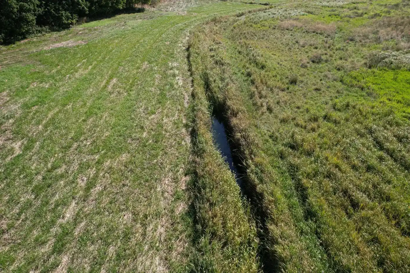
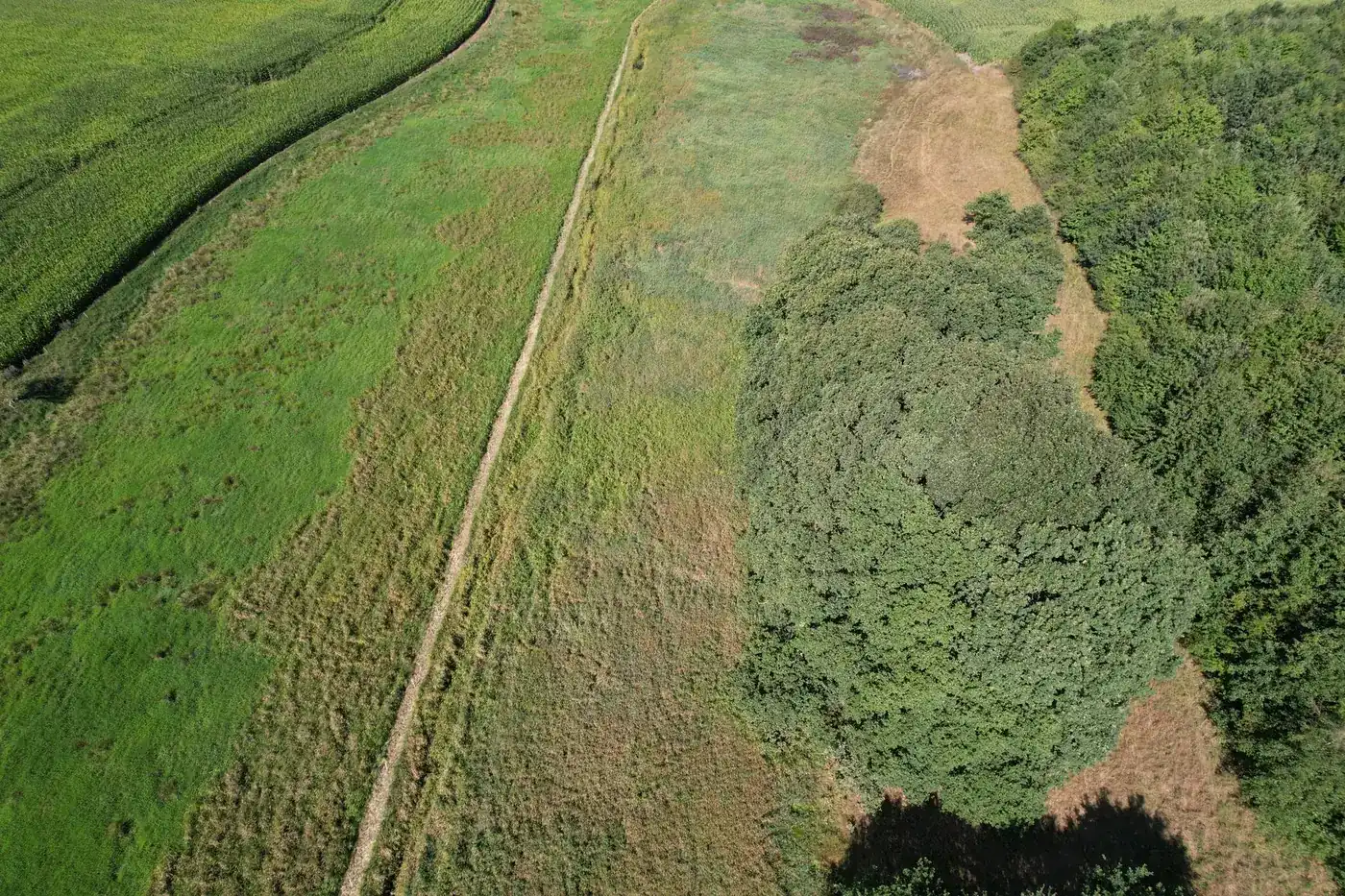
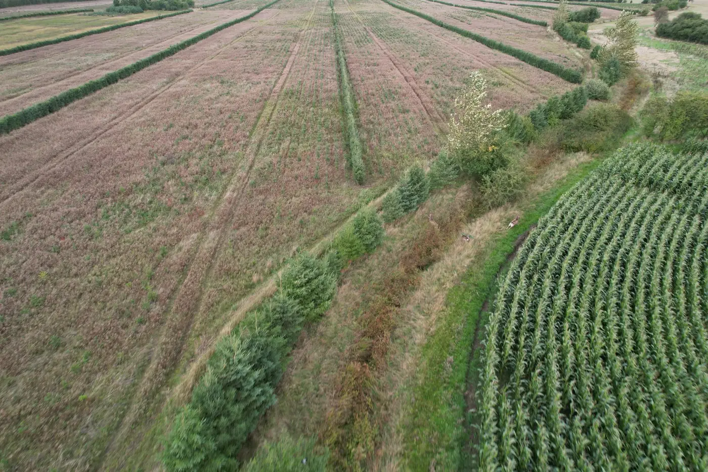
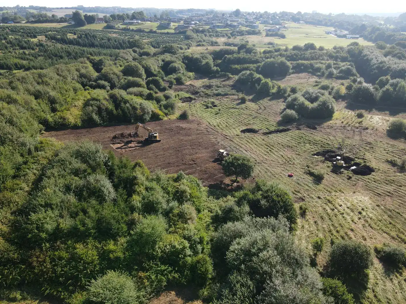
Drone photographs and reference photographs with location and time from EXIF data.
Retrieved automatically from Danish data sources and linked to the specific site.
Every change is saved as a new version with a timestamp and the person responsible.
Evidence packages receive a digital checksum so that it is possible to document that they remain unchanged.
From drone photograph to baseline in four steps.
The images are our own drone photographs.
Built on public Danish data.
We retrieve data from established sources, using the same basis as authorities and advisers.
Orthophotos, cadastral data and the Danish elevation model (DHM).
Natural and protected areas registered under § 3 (Danish nature protection legislation).
Soil type and lowland maps.
Weather data to provide context for field observations.
Satellite imagery for vegetation and land cover.
AI assists. People assess.
The material is first reviewed automatically to identify what needs attention. A specialist then assesses the result before it becomes part of the baseline. Every conclusion is backed by an expert assessment.
- Automated review flags deviations and areas that need a closer look
- Expert assessment of each point before it becomes part of the baseline
- An audit trail shows what was assessed, by whom and when
During the initial survey, we establish fixed positions using GPS. On return visits, photographs are taken from the same points so that before-and-after material can be compared directly.
Every data point, calculation and assessment in an evidence package has a source, a timestamp and a person responsible. This is what makes the package verifiable.
Suitable, conditional or unsuitable. With reasons.
The planting analysis is rule-based and draws on soil, water, protected areas and existing natural habitats. Each site receives an assessment in hectares, with reasons and source references.
Effects are shown as ranges from the research literature, not as promises. This makes the assessment suitable for dialogue with landowners, advisers and the Green Tripartite (Grøn Trepart).
Conditions support planting without specific reservations.
Planting is possible subject to specific conditions, which are described.
Conditions argue against planting, for example protected natural habitats or lowland areas.
Login for the municipality.
Your team gets login access to its own projects, with a version history and evidence package sharing. The material is held with you, not in an inbox.
The municipality or project owner controls who has access. Data is not shared with others without your consent.
Frequently asked questions
A pilot project starts from DKK 125,000 and demonstrates the entire evidence chain in practice.
Shall we look at your project area?
A no-obligation conversation about your area, your data and what a baseline survey can offer you.