
Evidence package for foundations, applications and local tripartite partnerships
An evidence package brings drone photographs, map data and assessments together in one place, with a source reference for every claim. The package is versioned and given a SHA-256 fingerprint so that it can be verified as unchanged.
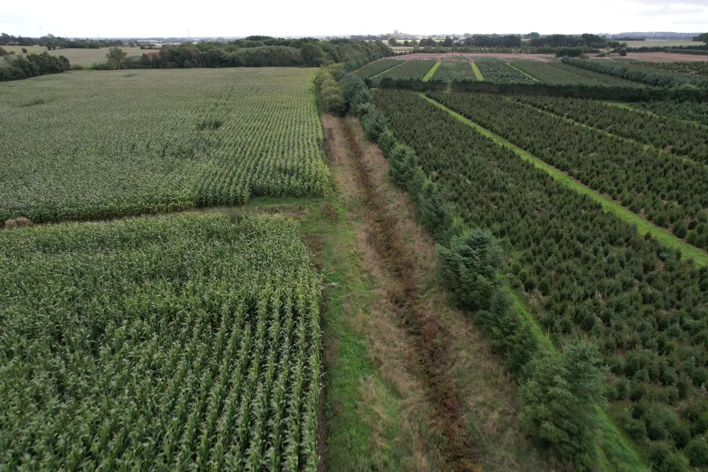
What you get
- Consolidated package with drone photographs, map data and assessments
- Source reference for every claim
- Versioning and a SHA-256 fingerprint so that the package can be verified as unchanged
- Ready to share with foundations, use in applications and share with the local tripartite partnership
When it makes sense
When you need to apply for funding, submit an application or present a project to the tripartite partnership, and the evidence base must be verifiable.
What we need from you
- The material on which the package will be based, such as a baseline survey
- Information about the package's intended audience
- A contact person for technical questions
All prices exclude VAT.
The process step by step
We agree on what the package should contain and its intended audience.
Photographs, data and assessments are compiled with source references.
The package is versioned and given a SHA-256 fingerprint.
You receive the package as PDF and ZIP files, ready to share.
Related services
Repeat survey points and before/after documentation to track changes over time.
Read moreA defined programme that demonstrates the entire evidence chain in practice on your own site.
Read moreRead more
Tell us about the project and we will get back to you with a specific assessment.
Shall we look at your project area?
A no-obligation conversation about your area, your data and what a baseline survey can offer you.