
Pre-project drone survey and baseline for watercourses and land
A pre-project survey documents the area as it is before the project begins. We survey the area by drone, retrieve the relevant public data and bring everything together in a version-controlled baseline that the municipality, landowners and the tripartite partnership can all refer to.
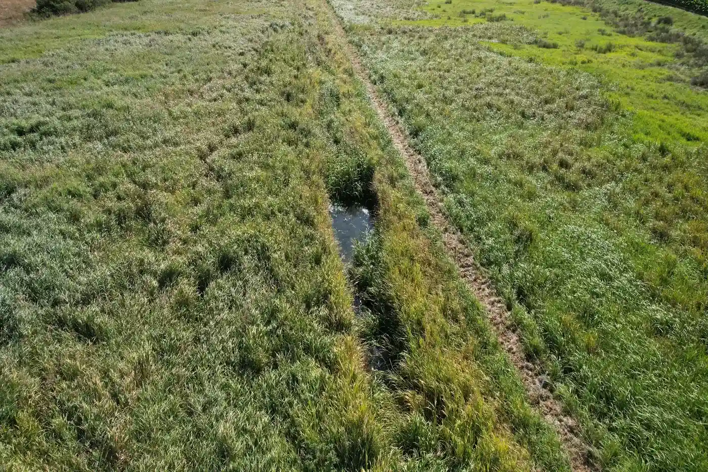
What you get
- Drone survey of the area with GPS-tagged imagery
- Subsections and repeat survey points recorded with coordinates
- Reference photos ready for return visits
- Version-controlled baseline report as a PDF and an evidence package
When it makes sense
When a project is about to begin and you need a documented starting point that the municipality, landowners and the tripartite partnership can all refer to.
What we need from you
- A defined boundary for the area, for example as a map extract or cadastral parcel numbers
- Access and permissions for drone flights over the land
- A contact person who knows the area and the project
All prices exclude VAT.
The process step by step
We agree on the area, purpose and intended uses of the baseline.
We survey the area by drone and record subsections and repeat survey points.
Drone photos are compared with public data and assessed by specialists.
You receive a version-controlled report and evidence package ready for use.
Related services
Read more
Tell us about the project and we will get back to you with a specific assessment.
Shall we look at your project area?
A no-obligation conversation about your area, your data and what a baseline survey can offer you.