
Data baseline and screening using public data
Before you invest in fieldwork, public data can help narrow down much of the scope. We retrieve the relevant layers from Dataforsyningen (Denmark's public data supply service), Danmarks Arealinformation (Denmark's land information portal), GEUS (Geological Survey of Denmark and Greenland), DMI (Danish Meteorological Institute) and Copernicus Sentinel-2, and compile them for your site with source references and retrieval dates.
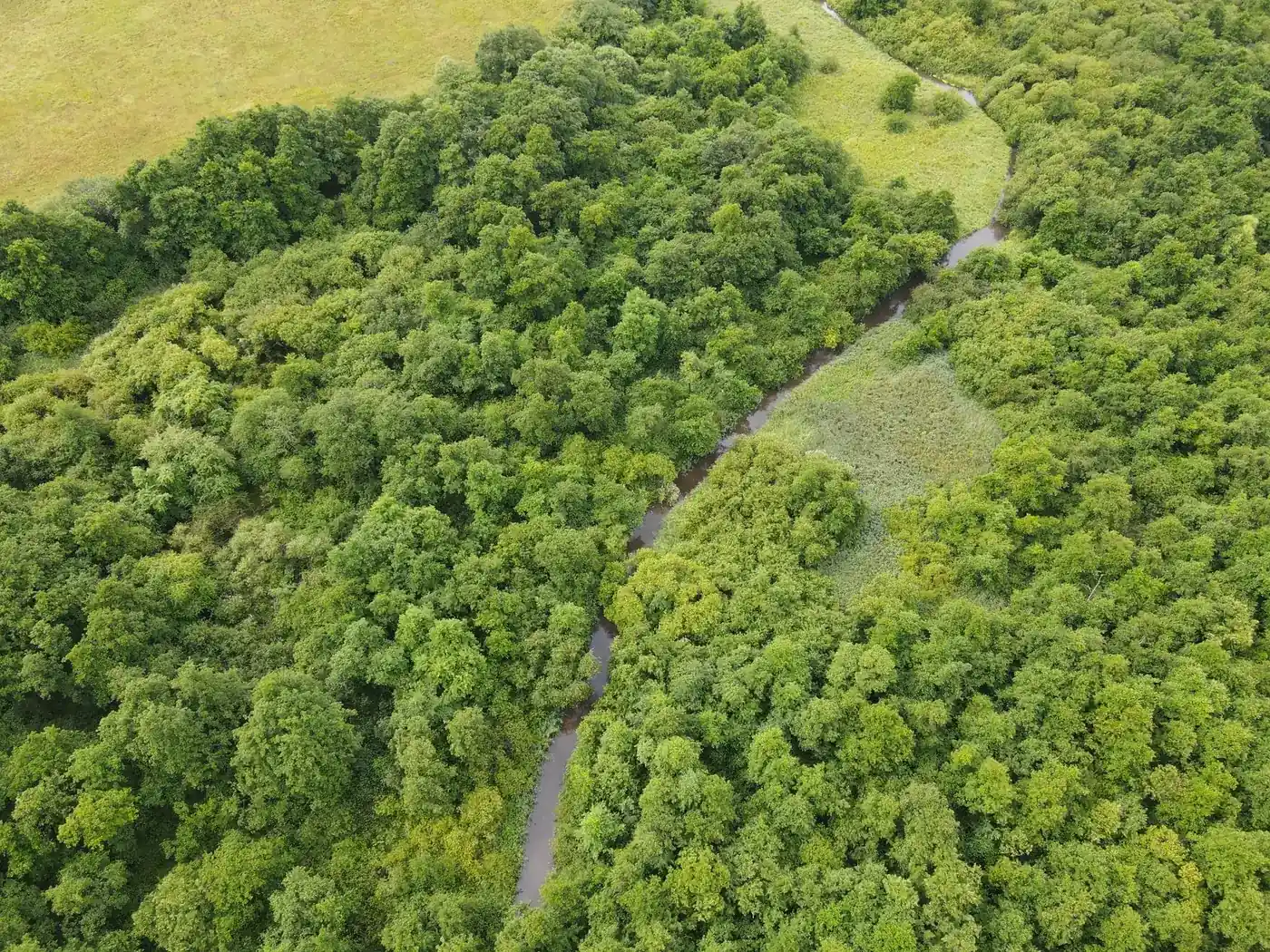
What you get
- Orthophotos, cadastral data and elevation models from Dataforsyningen
- Natural habitats registered under § 3 (Section 3 of the Danish Nature Protection Act) and protected areas from Danmarks Arealinformation
- Soil type and low-lying land data from GEUS, weather data from DMI, satellite data from Copernicus Sentinel-2
- Consolidated source overview with the status of each data layer
When it makes sense
Early in the process, before you invest in fieldwork, or when you need to screen several sites and prioritise where it makes sense to proceed.
What we need from you
- The boundaries of the site or sites to be screened
- A brief description of what the screening will be used for
- A contact person for questions during the process
All prices exclude VAT.
The process step by step
We agree on the sites and the questions the screening should answer.
The relevant data layers are retrieved automatically from public sources.
Data is compiled for the site, with a source and retrieval date for each layer.
You receive an overview with the status of each data layer and our assessment.
Related services
Drone surveys, public data and expert verification brought together in a version-controlled baseline.
Read moreRule-based assessment of where planting is suitable, conditionally suitable or unsuitable.
Read moreRead more
Tell us about the project and we will get back to you with a specific assessment.
Shall we look at your project area?
A no-obligation conversation about your area, your data and what a baseline survey can offer you.