
Documentation that can follow the money.
When a fund supports a nature project, or a landowner invests in their own land, the same question arises: what has happened, and how can it be verified? We provide the answer.
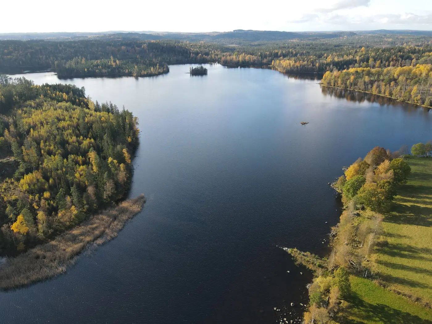
Without a baseline, you cannot demonstrate change.
If the area is not documented before work begins, afterwards you can only describe what it looks like now. With a versioned baseline and a follow-up flight from the same points, you can show what difference the funding has made.
- Drone photographs with GPS coordinates and timestamps from before and after the intervention
- Map data from public sources, with source references and retrieval dates
- Expert assessments with a log of who assessed what
- Versioning and SHA-256 fingerprints to document that the package is unchanged
A basis that can be verified.
An application is stronger when its supporting evidence can be checked. The evidence package brings together photographs, map data and assessments with a source reference for every claim, so it can be shared directly with the fund.
The same picture for all parties.
When a municipality, landowners and organisations need to reach agreement, it helps to look at the same material. The evidence package gives the tripartite partnership a shared, verifiable basis for dialogue and decisions.
Where most people start.
The documented starting point on which everything else is built.
Follow-up flights from the same points to demonstrate change over time.
The complete package for applications and local tripartite partnerships.
We will get back to you with a specific assessment of what can be documented and what it requires.
Read more
Shall we look at your project area?
A no-obligation conversation about your area, your data and what a baseline survey can offer you.