
Six services. One evidence chain.
From the first drone flight to ongoing follow-up. Every service delivers the same outcome: documentation that can be verified.
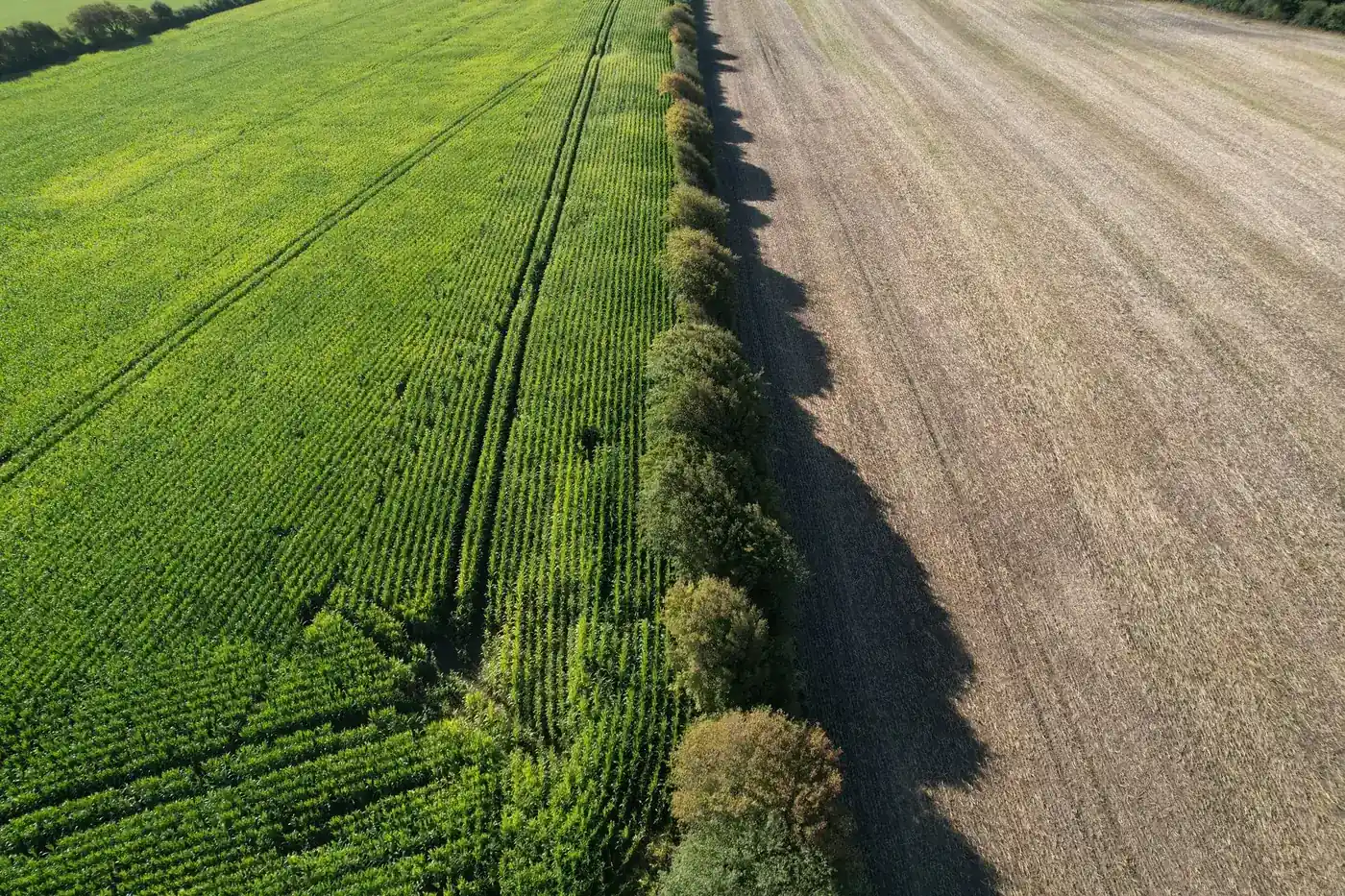
Drone baseline surveys of watercourses and land
- Drone flight over the area with GPS-tagged imagery
- Sections and repeat survey points recorded with their positions
- Reference photographs ready for repeat visits
- Versioned baseline report as a PDF and an evidence package
When a project is about to start and you need a documented starting point that the municipality, landowners and the Green Tripartite (Grøn Trepart) partnership can all work from.
Data foundation and screening using public data
- Orthophotos, cadastral data and an elevation model from Dataforsyningen (Denmark's public data supply service)
- Nature and protected areas registered under § 3 from Danmarks Arealinformation (Denmark's land information portal)
- Soil type and low-lying land data from GEUS, weather data from DMI, satellite imagery from Copernicus Sentinel-2
- Consolidated source overview with the status of each data layer
Early in the process, before you invest in fieldwork, or when you need to screen several areas and prioritise where it makes sense to proceed.
Repeated monitoring and follow-up flights (before/after)
- Follow-up flights from the same repeat survey points as the baseline survey
- Before-and-after photographs that can be compared directly
- Updated evidence package after each repeat visit
- A basis for progress reporting to foundations and the tripartite partnership
When a project is underway and you need to show what the work has changed, for example to a foundation or the local tripartite partnership.
Planting and nature suitability analysis (draft for professional validation)
- Suitability map in hectares: suitable, conditionally suitable, unsuitable
- Rationale for each area with source references
- Effects shown as ranges from research literature, not as promises
- Draft ready for professional validation by your adviser
When you are considering planting or nature measures and need a structured draft for a specialist to assess.
Evidence package for foundations, applications and the local tripartite partnership
- Consolidated package of drone photographs, map data and assessments
- A source reference for every claim
- Versioning and SHA-256 fingerprints to verify that the package is unchanged
- Ready to share with foundations, include in applications and share with the local tripartite partnership
When you need to seek funding, submit an application or present a project to the tripartite partnership, and the supporting evidence must be verifiable.
Pilot project and project/portfolio licence for Evidence Workspace (from DKK 125,000)
- A defined project on your own site
- The entire evidence chain from drone photograph to versioned baseline
- Access to Freyra Evidence Workspace for your team
- Review of the results and a plan for further use
When you want to see the value in practice before committing to more. A pilot project gives you a complete deliverable to assess.
All prices exclude VAT.
Frequently asked questions
We will then get back to you with a specific assessment of what can be documented and what it requires.
Shall we look at your project area?
A no-obligation conversation about your area, your data and what a baseline survey can offer you.