
From flight to evidence package in six phases.
Every delivery follows the same method. This makes the result predictable and allows every step to be verified.
We agree on the area's boundaries, the project's purpose and what the documentation needs to be used for. Only once this is clear do we plan the flight.
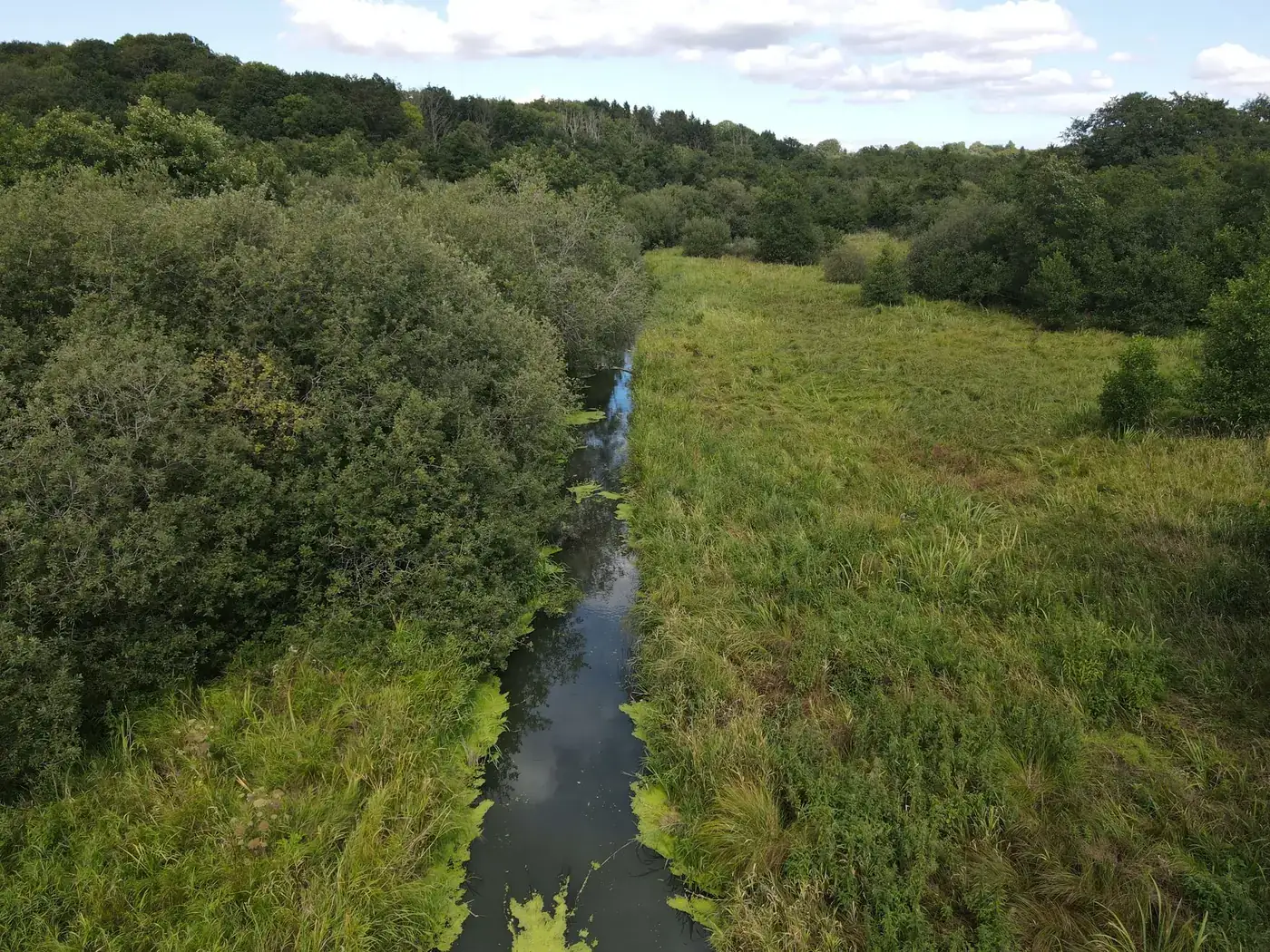
We fly over the area, taking GPS-tagged photographs and recording individual sections and repeat photography points so that the same location can be photographed again later.
Orthophotos, cadastral data and an elevation model from Dataforsyningen (Denmark's public data supply service). § 3-protected habitats and protected areas from Danmarks Arealinformation (Denmark's land information portal). Soil types and low-lying land from GEUS (Geological Survey of Denmark and Greenland). Weather from DMI (Danish Meteorological Institute). Satellite imagery from Copernicus Sentinel-2.
AI assists with comparing public data and drone photographs. A specialist then makes the assessment, which is logged.
The results are compiled into a versioned report in PDF and ZIP formats with SHA-256 fingerprints, allowing it to be verified as unchanged.
On follow-up flights, we take photographs from the same repeat photography points so that before and after can be compared directly.
What makes the documentation verifiable.
Every assessment is logged with a timestamp and the responsible specialist.
Every change is saved as a new version. Nothing is overwritten.
Every data layer has a source and a retrieval date.
We show effects as ranges from the research literature, never as precise figures.
Planting analyses are drafts that a specialist on your side must validate.
Freyra is a layer on top of MARS, GATE and Miljøportalen (Denmark's environmental data portal), not a replacement.
We know our role.
- We do not replace processing by public authorities. Cases must still be processed by the relevant authorities.
- We do not replace professional advice. Our analyses are drafts that your adviser must validate.
- We do not calculate effects as precise figures. Effects are shown as ranges from the research literature.
Want to see what the method delivers? Explore our services or photographs from our flights.
Tell us about the project and we will get back to you with a specific assessment.
Shall we look at your project area?
A no-obligation conversation about your area, your data and what a baseline survey can offer you.