
Baseline before project start: how to get it right
Updated
Once a project has started, the original conditions can no longer be recorded. This makes the baseline the most time-critical piece of documentation in a nature project.
When?
As early as possible, and before any changes are made to the site at the latest. Ideally during the growing season, when vegetation is most visible, and on a day with good lighting conditions. Record the weather so that differences can be explained later.
What should be included?
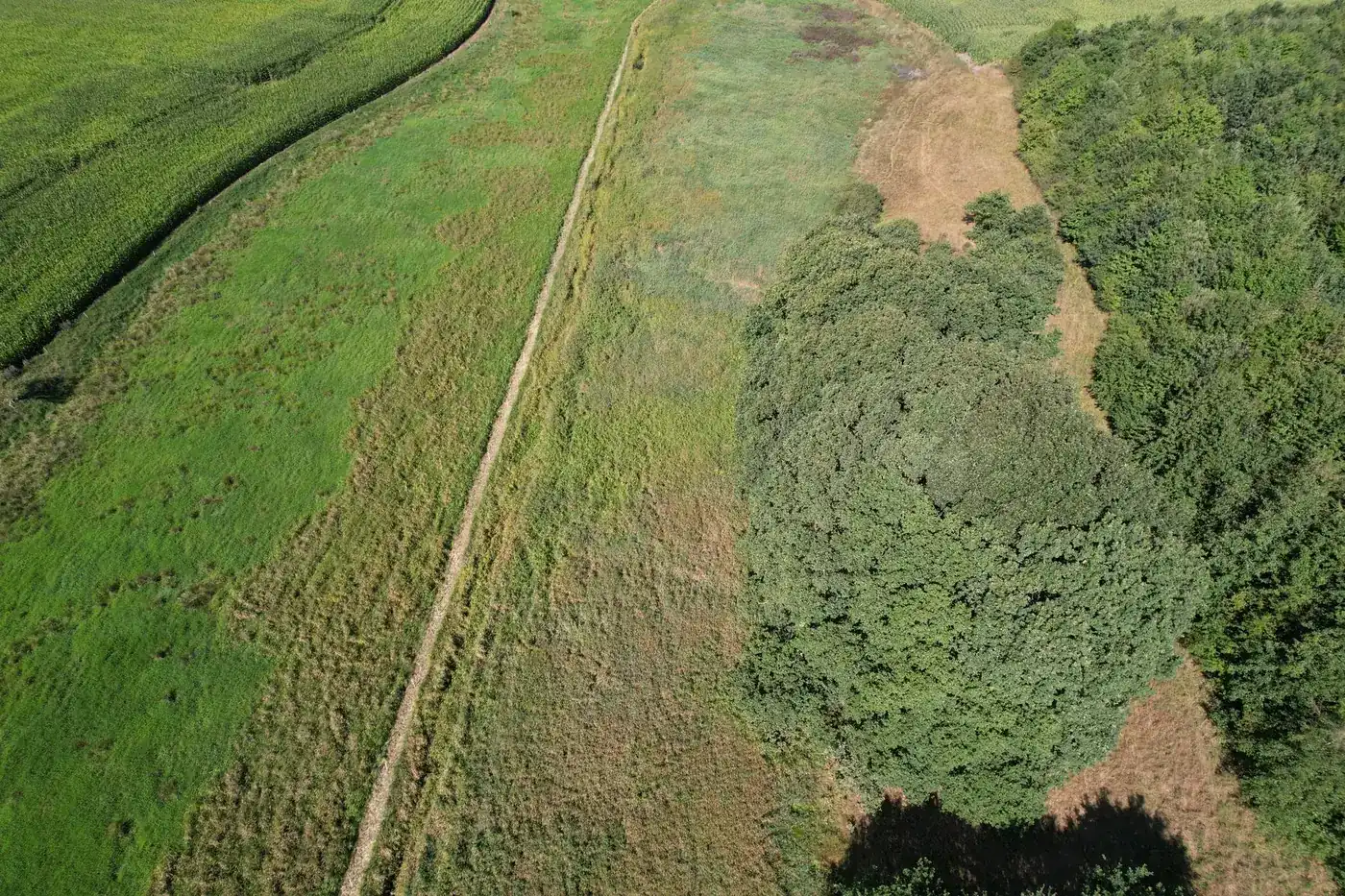
- Overview photographs and fixed repeat photography points captured by drone, with positions taken from the image metadata.
- An orthophoto and elevation model of the area.
- Cadastral parcels, watercourses, § 3 registrations (protected habitat records under Danish law), and soil or lowland maps.
- A satellite scene from a cloud-free day close to the flight date.
- An expert assessment for each point, with a name and date.
- A source list with the retrieval date for each dataset.
Avoid these mistakes
- Only saving downscaled images without metadata.
- Failing to record which points were photographed.
- Mixing assessments and data so that it is unclear who reached which conclusions.
- Editing a report after it has been sent without creating a new version.
How Freyra does it
Freyra reads the position directly from the drone images, retrieves the public data layers for the area, displays photographs and underlying public data side by side, and lets a specialist confirm or reject each point. The result is locked in a versioned report with SHA-256.
Frequently asked questions
Can a baseline be established after a project has started?
You can record the condition, but it no longer represents the starting point. Older orthophotos and satellite scenes can provide a picture of the previous condition, but at a lower level of detail.