
The land ownership feasibility study: landowners first
Updated
A wetland project can only happen if landowners are willing to participate. That is why the feasibility study includes a separate land ownership component.
Purpose
According to guidance from Landbrugsstyrelsen (the Danish Agricultural Agency), the purpose is to describe land ownership in the project area, assess whether there is support, and gather landowners' wishes and requirements for participation.
What must it include?
- Landowner support for the project, including whether landowners want land consolidation, land purchase, compensation for loss of land value, replacement land or a one-off compensation payment.
- A map of land ownership showing the properties and areas included.
- Information on landowners' wishes and requirements.
Early engagement
The guidance emphasises that early engagement can increase understanding, a sense of ownership and trust, and provide valuable information on matters such as drainage, hunting interests and farming operations.
Images in dialogue
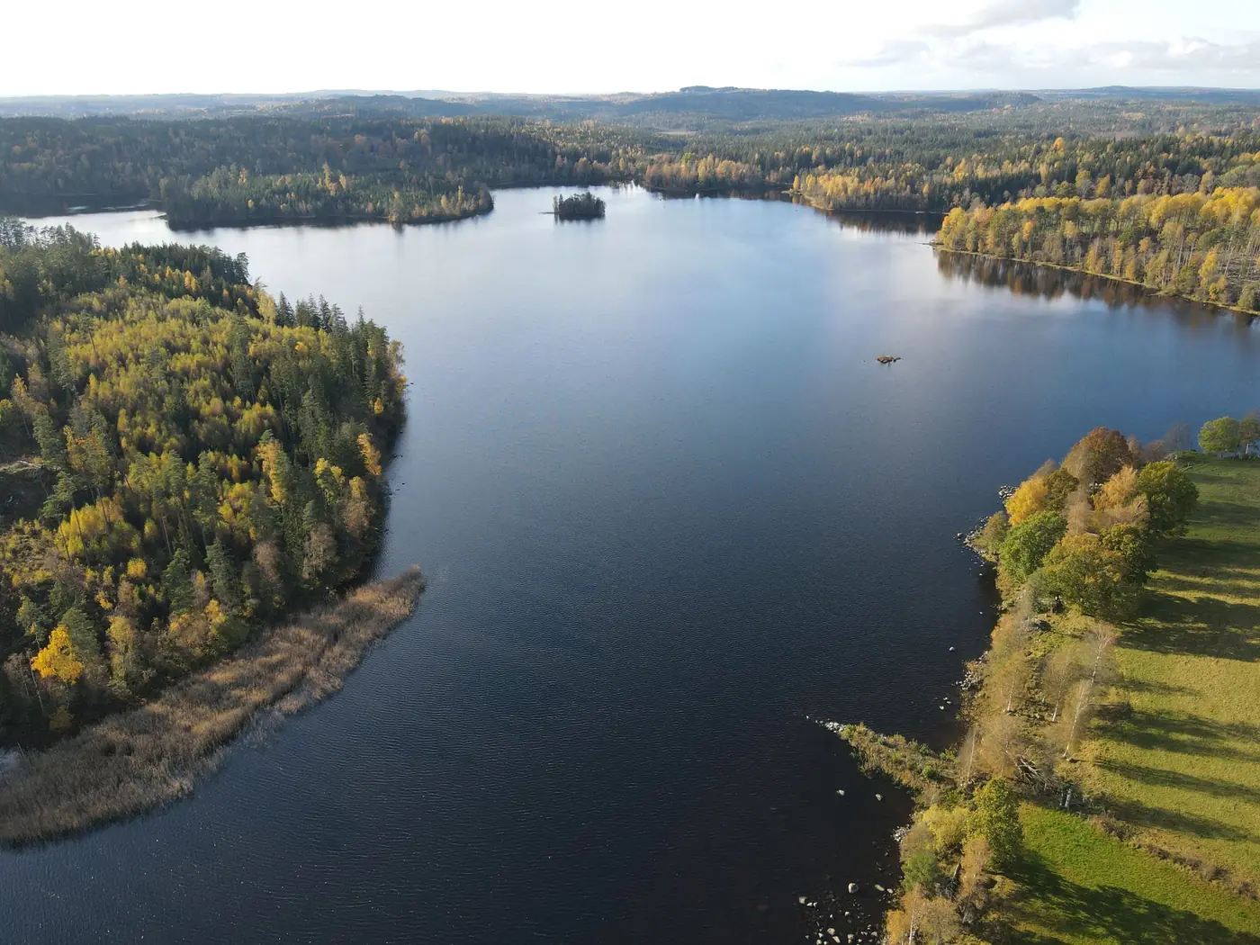
Drone photographs of the landowner's own land make the discussion tangible. A shared, dated image of the baseline conditions can also reduce later disagreement about what the land looked like.
Frequently asked questions
What is the difference between the land ownership and technical feasibility studies?
The land ownership study concerns landowners and ownership arrangements. The technical study concerns effects and consequences for the land.