
Feasibility studies for low-lying land and wetland projects
Updated
The feasibility study determines whether a low-lying land or wetland project can be implemented. It forms the basis for the application for project establishment.
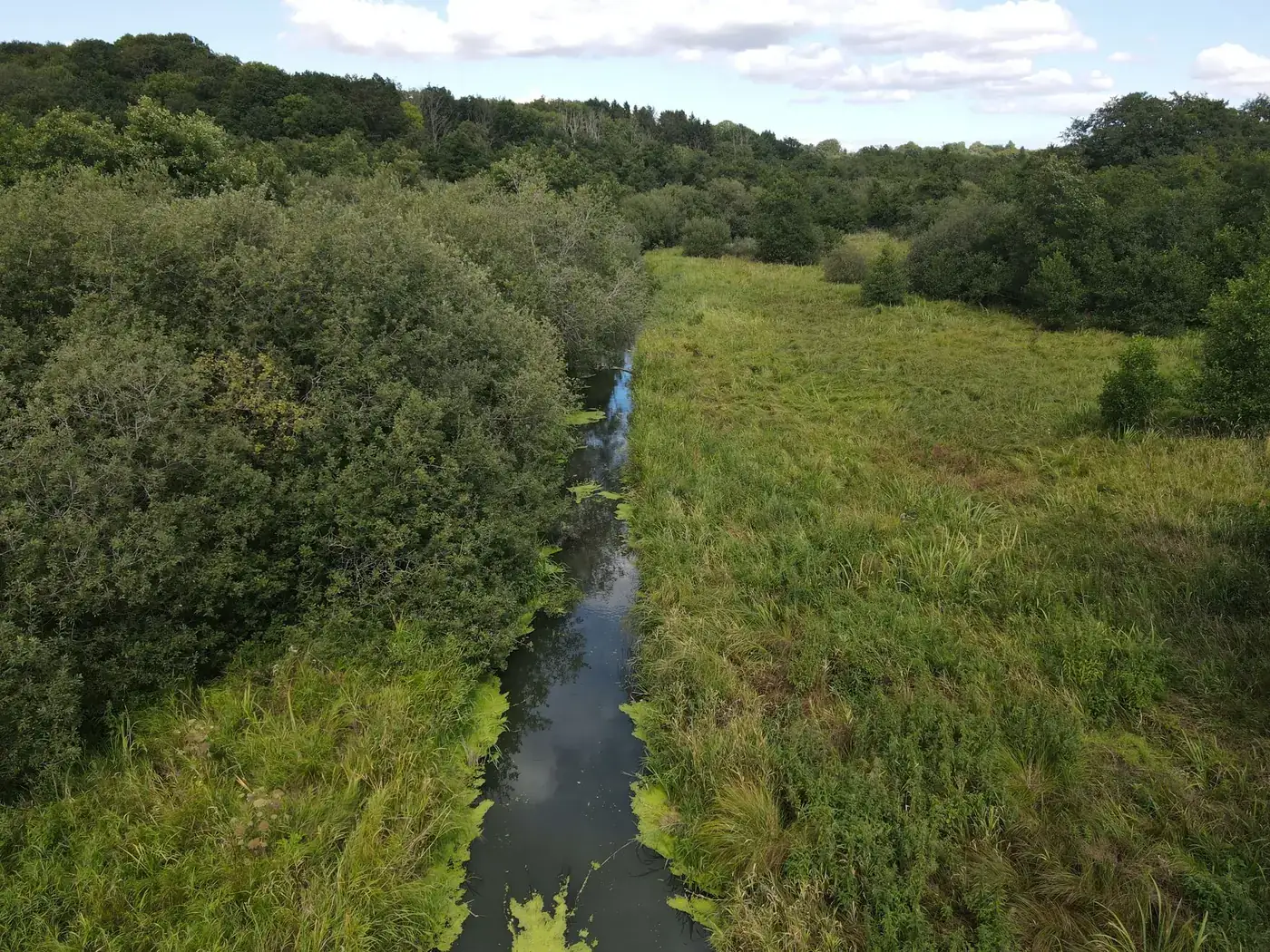
What must the feasibility study establish?
According to Landbrugsstyrelsen (the Danish Agricultural Agency), the feasibility study must assess the potential for implementation, including landowner support, effects and possible consequences. It produces a land ownership feasibility report and a technical feasibility report, with appendices.
Effects that can be investigated
- nitrogen
- greenhouse gases
- phosphorus
- physical improvements to watercourses (river valley restoration)
- selected nature conservation measures
Where a baseline fits in
The technical feasibility study typically draws on surveying, map data and site inspections. A baseline from Freyra is not a survey and does not replace the consultant's work. It provides a dated photographic and data-based starting point: where the images were taken, what the site looked like, which public data layers applied on the day, and what a specialist has confirmed.
Practical advice
- Carry out the flight early so that the same day can be used as a reference later.
- Use fixed repeat observation points so that follow-up flights can be compared.
- Keep original files with metadata, not just downscaled report images.
- Record which version of the public data was used.
Frequently asked questions
Which reports does the feasibility study produce?
A land ownership feasibility report and a technical feasibility report, with accompanying appendices.