
The elevation model in lowland projects: read the terrain before the water does
Updated
When drains are blocked and ditches filled in, water finds its own way. The terrain model provides an initial indication of where it will end up.
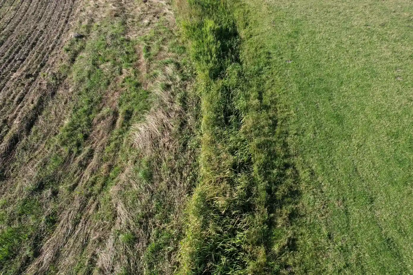
What is DHM?
Danmarks Højdemodel (Denmark's elevation model) is a nationwide terrain and surface model that can be downloaded free of charge via Dataforsyningen (Denmark's public data distribution platform).
Use in projects
- Identify depressions where water will collect.
- See the gradient along watercourses and river valleys.
- Assess which neighbouring areas may be affected.
- Compare with lowland and soil maps.
Limitations
The elevation model shows the terrain at the time of data collection. It does not show underground drains, groundwater levels or more recent changes to the terrain. These require surveying and site inspections.
In Freyra
The elevation model is one of the public data layers retrieved automatically for the project area and included in the baseline with its source and retrieval date.
Frequently asked questions
Is the elevation model free?
Yes. DHM can be downloaded free of charge via Dataforsyningen.