
Restoration of river valleys and watercourses: purpose and documentation
Updated
River valley restoration is one of the six measures under the Vådområder og lavbundsprojekter scheme (wetland and low-lying land projects). It involves restoring the connection between the watercourse and the surrounding land.
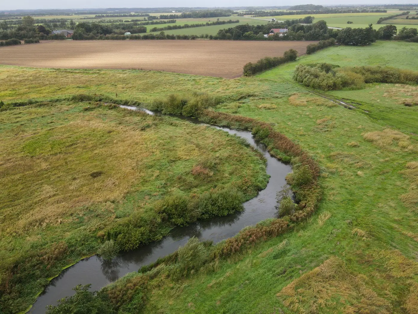
Purpose
According to Landbrugsstyrelsen (the Danish Agricultural Agency), the purpose is to improve physical conditions and help meet environmental objectives for selected stretches of watercourse. The measure can also help remove nitrogen and reduce greenhouse gas emissions.
Who can apply?
River valley restoration falls under the VKP measures in track 1. Municipalities can apply for all six measures under the scheme.
What needs to be documented?
- The course and banks of the watercourse before the project.
- Vegetation along the watercourse.
- The land in the river valley and its use.
- Terrain from the elevation model, so that changes in the path of water flow can be assessed.
Drones as a supplement to surveying
Surveying the watercourse profile requires a land surveyor or consultant. A drone provides a visual overview of the entire stretch and fixed points that can be revisited after construction.
Frequently asked questions
Is watercourse restoration part of VLP?
Yes. River valley restoration is one of the four VKP measures under the scheme.