
Monitoring nature projects: before and after from the same point
Updated
Most people have seen before-and-after images that cannot be compared because they were taken from different locations and at different times of year. Good monitoring is about repeating the same approach.
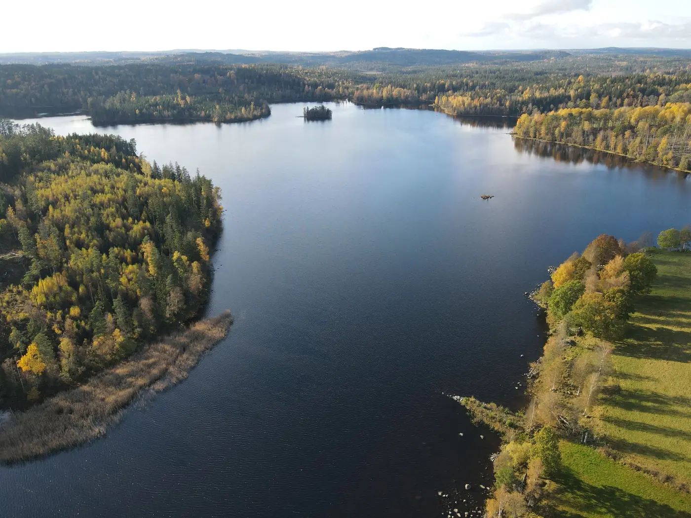
Fixed repeat photography points
When establishing the baseline, select points that cover the most important parts of the site, such as the course of the watercourse, boundaries with fields and areas to be rewetted. Take photographs from the same position and in the same direction each time.
The same time of year
Vegetation changes throughout the year. Wherever possible, compare flights from the same time of year and record the weather.
How often?
This depends on the project and the requirements attached to any subsidy or foundation grant. Monitoring typically takes place after construction and then at regular intervals. Clarify the requirements early.
Satellite imagery as a supplement
Between flights, Sentinel-2 scenes can show changes across the entire site at a lower resolution.
Frequently asked questions
What is a follow-up flight?
A new drone flight over a project area, during which photographs are taken at the same repeat photography points so they can be compared with the baseline.