
Documenting nature projects: baseline, monitoring and traceability
Updated
A nature project is assessed over many years. The question is rarely just what the land looks like today, but what it looked like before, and how we know. Good documentation answers both questions.
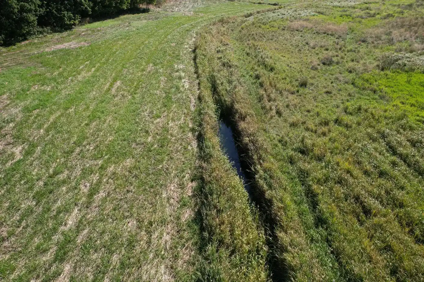
What is a baseline?
A baseline is a record of the condition of an area of land at a specific point in time, typically before a project begins. It is later used as a basis for comparison. It must be dated, linked to a location and clear enough for someone else to repeat the recording process.
Five requirements for robust documentation
- Location: every photograph and measurement has a recorded position.
- Time: the date and time are shown, and the weather on the day is noted.
- Source: public data is identified by name and retrieval date.
- Assessment: a named specialist has confirmed or rejected each point.
- Integrity: the report is locked to a specific version, for example with a SHA-256 hash, so that subsequent changes can be detected.
Monitoring and follow-up flights
Once the project has started, recording is repeated from the same points. This provides before-and-after images that can genuinely be compared, rather than random photographs taken from different angles.
MRV and nature projects
MRV stands for Measurement, Reporting and Verification. The term is used particularly in relation to climate impacts. Freyra does not calculate climate or nitrogen impacts. We document the starting point and subsequent changes, giving calculations carried out elsewhere a firm basis.
Who uses the documentation?
The municipality as the authority and project owner, the landowner, foundations that need to see what their funding is being spent on, and the local tripartite partnerships that track progress. Because their needs differ, the documentation should be readable without specialist tools, for example as a PDF with a list of sources.
Frequently asked questions
What is the difference between a baseline and monitoring?
A baseline records the starting point. Monitoring consists of repeated records taken afterwards and compared with the baseline.
Does Freyra calculate CO2 or nitrogen impacts?
No. Freyra documents the condition of the land and how it changes over time. Impact calculations are carried out using the official methods and tools.
Sources
Terms in this article
Articles on this topic
- Baseline before project start: how to get it right
- Why a report with SHA-256 strengthens documentation
- Monitoring nature projects: before and after from the same point
- Documentation for foundations and grant providers in nature projects
- Professional verification: when AI suggests and the specialist decides
- Effects as ranges: why we do not calculate figures