
Orthophoto or drone photograph? When you need which
Updated
Denmark has good nationwide orthophoto coverage. So why fly a drone? The answer depends on what you need to show.
Strengths of orthophotos
According to Datafordeleren (Denmark's public data distribution platform), GeoDanmark orthophotos are captured annually before leaf emergence, between 1 March and 1 May. The standard is a ground sampling distance (GSD) of 15 cm, resampled to 12.5 cm pixels. Municipalities can choose 10 cm. The images are true to scale and cover the whole country.
Limitations
- They show conditions on a single day in spring, before leaf emergence.
- They show the area directly from above, not watercourse banks or vegetation from the side.
- It may be almost a year before the next images are captured.
Strengths of drone photographs
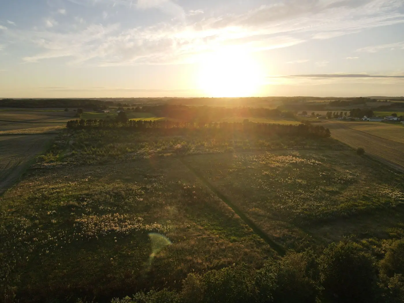
- Taken on the day you need them, including during the growing season.
- Can show details from oblique angles.
- Can be taken repeatedly from the same points.
Use them together
In Freyra, drone photographs and orthophotos are displayed side by side for each point. The orthophoto provides the official reference, the drone photograph shows the situation today, and the difference is assessed professionally.
Frequently asked questions
How often are orthophotos updated?
GeoDanmark orthophotos are captured annually in spring.