
Drones in nature management: recording, rules and traceability
Updated
In an hour, a drone can photograph an area that takes a day to walk. But images alone are not documentation. They only become documentation when location, time and assessment are linked.
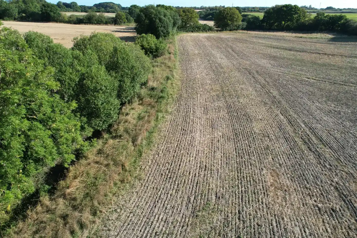
What drones are used for
- Overview photographs of project areas and stretches of watercourse.
- Fixed repeat photography points photographed again during follow-up flights.
- Recording vegetation, growth along watercourses and signs of water.
- Images for dialogue with landowners and politicians.
Rules for drone flights
Drone rules in Denmark are administered by Trafikstyrelsen (the Danish Civil Aviation and Railway Authority) and described on droneregler.dk. According to droneregler.dk, you must register as a drone operator with Trafikstyrelsen if the drone weighs over 250 g, or if it weighs under 250 g and has a sensor such as a camera. The A1/A3 theoretical drone certificate is obtained by taking an online theory test and is valid for five years. The drone operator must also have liability insurance. Always check the current rules and local restrictions before flying.
Traceable images
Modern drones save location and time in the image file's metadata (EXIF and XMP). If the original files are retained, each image can subsequently be positioned precisely on the map. Images that have been reduced in resolution for a report have often lost these data.
Privacy
Drone photographs may show houses, cars and people. Plan the flight to avoid this, and remove or blur anything that is not relevant before sharing the images widely.
From flight to report
In Freyra, original photographs are uploaded, their location is read automatically, and public data for the area are retrieved. Each point is assessed professionally, and everything is compiled into a versioned baseline report.
Frequently asked questions
Do I need to register to fly a drone?
According to droneregler.dk, you must register as a drone operator if the drone weighs over 250 g, or if it is lighter and has a sensor such as a camera.
Why should the original files be retained?
Because they contain location and time in their metadata. These are often lost when images are reduced in resolution.