
Plan a drone flight over a nature project
Updated
A good baseline starts before the drone takes off. Here is a practical checklist.
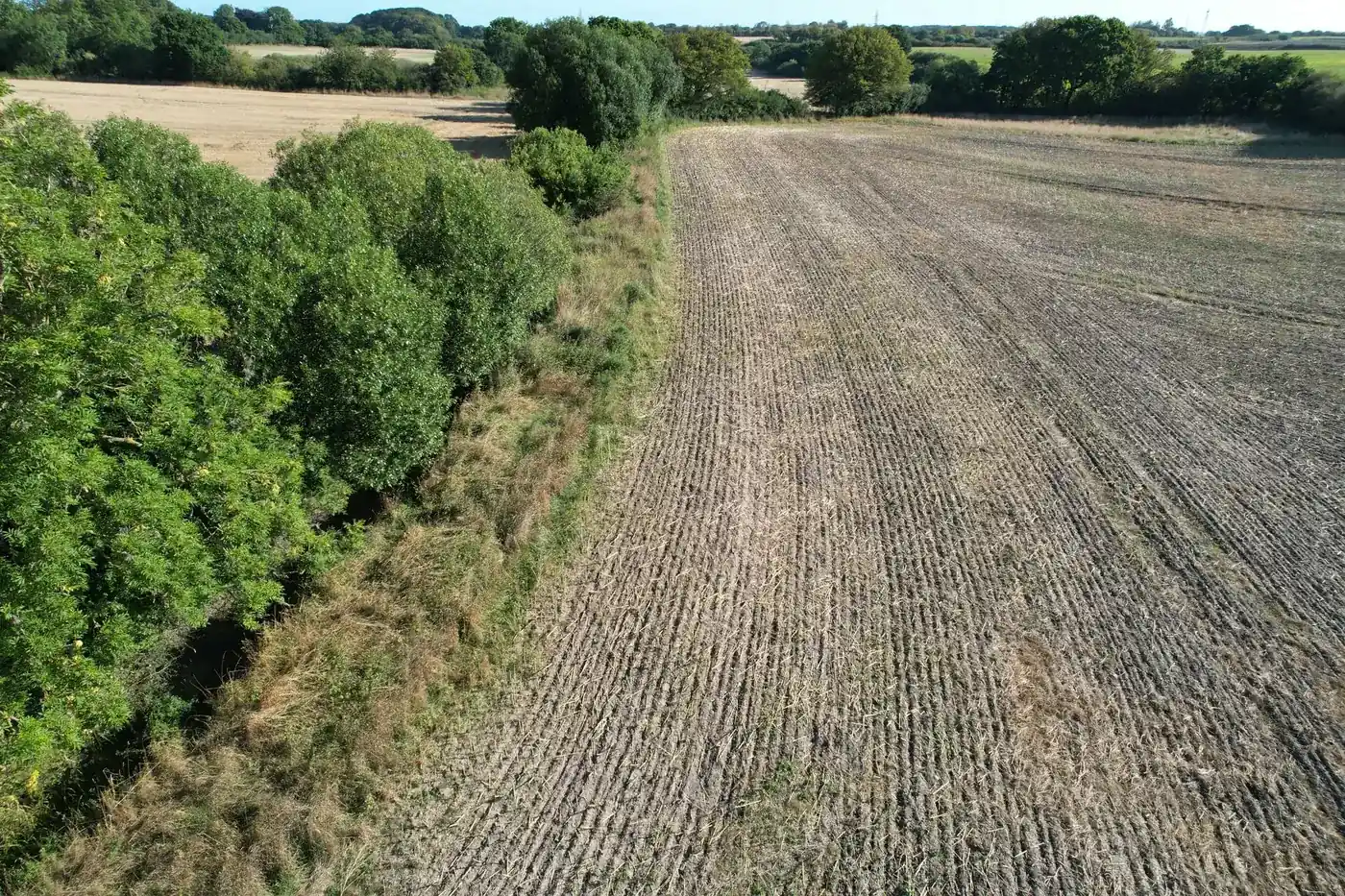
Rules and insurance
According to droneregler.dk, the operator must be registered with Trafikstyrelsen (the Danish Civil Aviation and Railway Authority), and drones over 250 g must be insured for at least SDR 0.75 million. The A1/A3 theoretical certificate is valid for five years. Also check local restrictions in the area.
Before the flight
- Agree access with the landowners.
- Select fixed points and directions for repeat photography.
- Check the weather and choose a day with even light.
- Plan the route to avoid houses and people.
During the flight
- Photograph each point from the same position and height.
- Take overview photographs of the entire stretch.
- Record the time and any deviations.
After the flight
- Save the original files unchanged, including metadata.
- Upload the originals, not downscaled copies.
- Record the weather on the day.
- Create copies without location data for public use.
Frequently asked questions
Does the drone need to be insured?
Yes. According to droneregler.dk, drone operators must have liability insurance, and drones over 250 g must be insured for at least SDR 0.75 million.