
Sentinel-2 in nature projects: what can satellite data show?
Updated
Satellite imagery is free, covers the whole country and goes back several years. This makes it a natural complement to drone flights. But resolution sets limits.
Resolution
Sentinel-2 has four bands with 10 m resolution, six with 20 m and three with 60 m. A pixel in the highest-resolution bands therefore covers 100 m². This is useful for tracking changes across an entire area, but not for seeing individual trees or small ponds.
Clouds
Optical satellites cannot see through clouds. In Denmark, there can be gaps between cloud-free images, so it is standard practice to use the nearest cloud-free scene in time and state its date.
NDVI
NDVI is a vegetation index calculated from the difference between near-infrared and red light. High values suggest green, active vegetation. NDVI is an indicator, not a measurement of biodiversity.
Combining drones and satellites
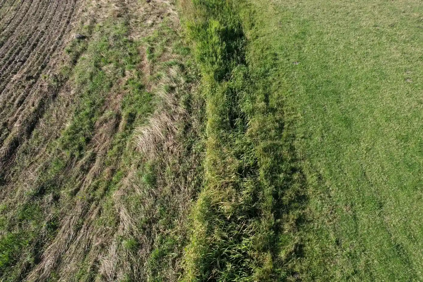
Drone photographs provide detail at a few points. Satellites provide an overview over time. Together, they can show both what is on site and how the whole area is changing.
Frequently asked questions
Is Sentinel-2 data free?
Yes. Copernicus data is freely available to all users.
Can NDVI measure biodiversity?
No. NDVI provides information about green vegetation, not species richness.