
MARS: the four modules explained
Updated
MARS is the shared platform for land-use initiatives under the Green Tripartite (Grøn Trepart). This is where land-use conversion plans are developed and where many grant applications begin.
What is MARS?
MARS stands for Multifunktionel Arealregistrering (Multifunctional Land Registration). It was developed by SGAV (the Danish Agency for Green Transition and Aquatic Environment), with Danmarks Miljøportal (Denmark's environmental data portal) as the supplier, and brings together information on land-based initiatives relating to nitrogen, low-lying land, afforestation and nature. The first version was launched in January 2025.
The four modules
SGAV describes four modules:
- Screening: draw an area to see opportunities and potential conflicts. No login required.
- Planning: used by local tripartite partnerships and municipalities for land-use conversion plans and nitrogen calculations. Login required.
- Application: a single entry point that guides users to the relevant application systems.
- Status: shows the status of nitrogen, land withdrawal and afforestation at national, coastal water group, tripartite partnership and municipal levels. No login required.
MARS data in your own GIS
Most data in MARS is made publicly available via a WFS service, allowing the layers to be used in tools such as QGIS or ArcGIS.
What MARS does not cover
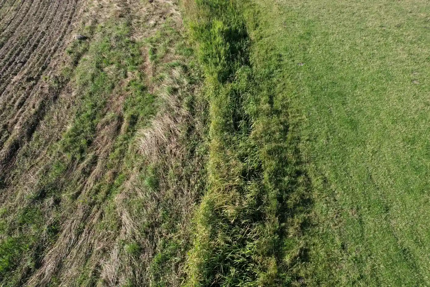
MARS works with map layers and plans. It does not document what a specific area looks like on the ground on a particular day. Freyra works alongside MARS: drone photographs with location and time information, compared with the same public data layers, and a professional assessment for each point. The project area is still drawn in MARS.
Frequently asked questions
Does MARS require a login?
Screening and status do not require a login. The planning module requires a login.
Can I download MARS data for QGIS?
Yes. According to SGAV, most data is made available via a public WFS service.