
Screening in MARS: get started without logging in
Updated
The screening module in MARS is the quickest way to get an initial impression of whether a site is suitable for land-use conversion.
What the module does
According to SGAV (the Danish Agency for Green Transition and Aquatic Environment), anyone can draw an area and have it screened for potential and possible constraints on taking land out of agricultural production. The module does not require a login and is aimed at landowners, advisers, organisations and municipalities.
How to proceed
- Draw, upload or select an area.
- Read the screening analysis showing potential and any conflicts.
- Copy the link and share it with others.
What screening cannot tell you
Screening is based on map layers. It does not show what the site looks like today, whether drainage systems work, or whether records of, for example, § 3 habitats (habitats protected under section 3 of the Danish Nature Protection Act) are still accurate. This requires a site inspection or up-to-date images.
Next steps
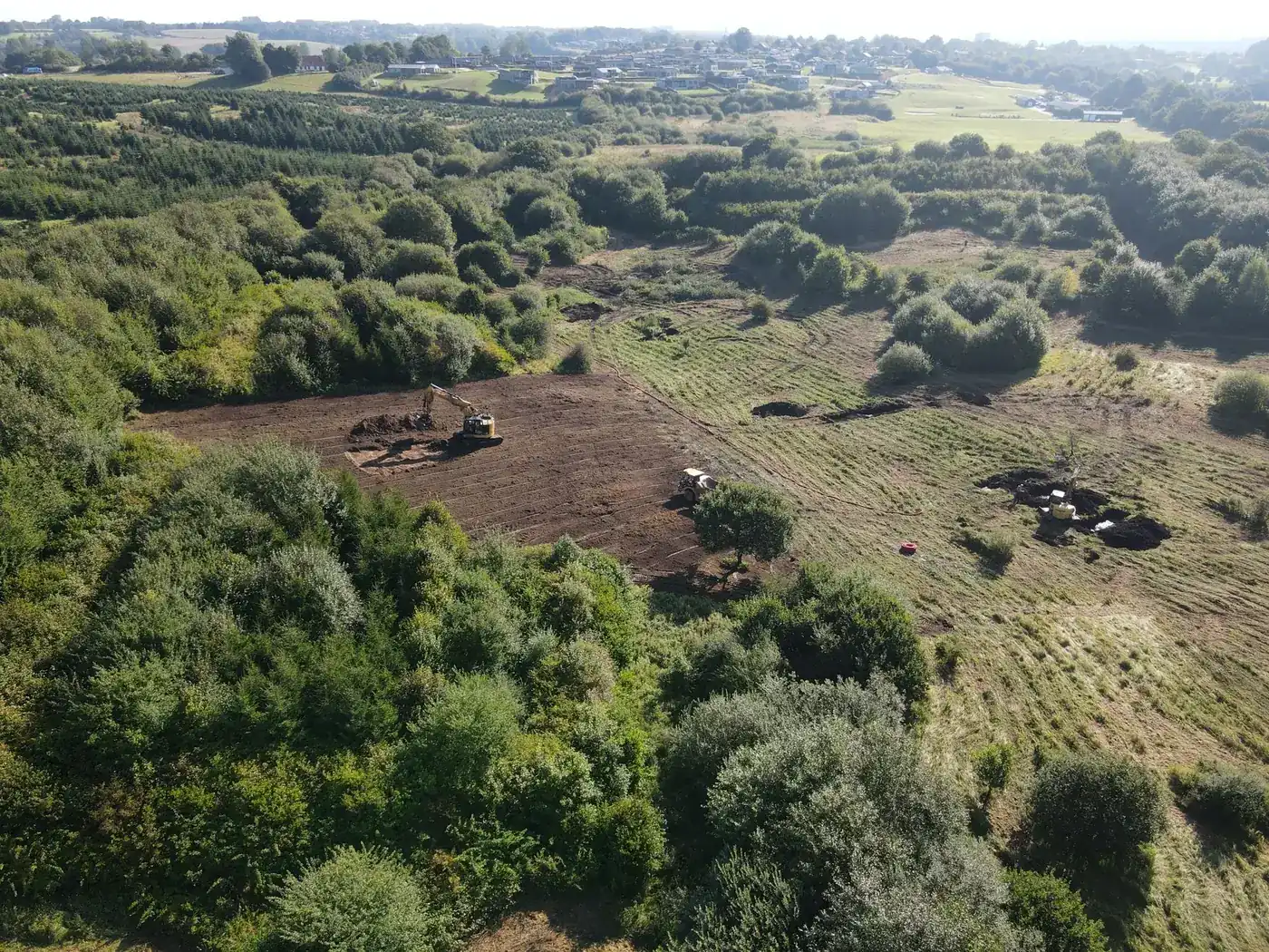
If the site looks suitable, the next step is typically to discuss it with the municipality or an adviser on taking land out of agricultural production and carry out a preliminary investigation. A drone flight early in the process provides an up-to-date picture against which to compare the screening.
Frequently asked questions
Is MARS screening free?
Yes, and it does not require a login.